


Having looked at some of the strengths and weaknesses of transport policy for Wales things now turn to geography.
In today’s piece:
- Where do weak points and gaps exist in the Welsh transport network?
- Is Wales poorly connected to the rest of Great Britain and Ireland? If so, what connections could be prioritised for improvement?
- What other international links ought to be prioritised for improvement (with one eye on independence)?
After another break, the run-in (starting August 21st) will consist of the final five articles looking at specific transport modes including road transport policies, where new railway stations should/could be built, what railways could/should be reopened, where bus rapid transit could work, other policy changes with independence, international comparisons etc. I’ll save that for then.
This one is more general, focusing on transport corridors with a national or regional impact and it’ll all inform those final five articles.
That’s not because transport at local level is less important, it’s more because I’ll be here all day if I had to include it. There could be some bits and pieces I’ve missed out too.
Brace yourselves for a lot of maps.
“Pressure point” is going to be defined as meaning:
- A widely acknowledged pressure on existing local transport infrastructure that may negatively impact regional connectivity (i.e. a point on a trunk road where there are frequent traffic jams).
- Existing transport infrastructure that’s sub-standard in terms of frequency of public transport services, safety and/or physical infrastructure (i.e. a torturous/bendy railway line or trunk road with low speeds).
- Infrastructure that’s unable to cope with the volume of use.
- Infrastructure that has additional capacity, or could have additional capacity with relatively minor improvements.

Most of the points on the map will be familiar to you or have been included in previous Welsh Government upgrade proposals. By and large, these are cases whereby the volume of road traffic has outgrown the infrastructure.
As a result, there are either known safety issues associated with these sites or there’s persistent congestion that – under orthodox public policy – would usually be fixed by road widening, junction upgrades or a bypass.
While road building hasn’t been banned under the Welsh Government’s Road Review, that’s no longer the preferred policy.

This largely overlaps with the final graphic in the previous section but is a bit more specific and isn’t just restricted to roads.
If the Beeching cuts, or something like it, were being undertaken now, the Heart of Wales and Conwy Valley rail lines would likely be closed.
Fortunately, we’re not in that position. Though given the infrastructure issues along both lines – and low service frequencies – it’s a question as to whether they’re seen as key parts of Wales’ transport infrastructure connecting relatively isolated communities, or a novelty aimed at tourists (Part VIII).
The same applies to the roads on the map to an extent.
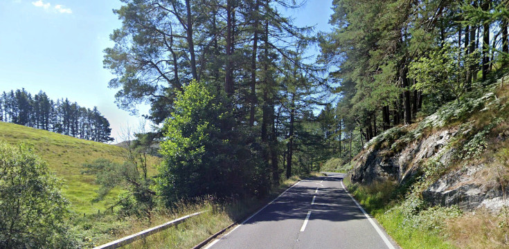
The A44 was mentioned earlier, but the A487, A483 and A5 have to be amongst the worst stretches of trunk road anywhere in the UK.
That’s not because they’re poorly maintained. It’s more that they’ve been elevated in importance in the road hierarchy without meeting anything close to what most of us would expect from a trunk road.
All very scenic, of course; but shouldn’t we view transport in a utilitarian way (how useful it is at getting you from A-B safely and in as reasonable a time as possible), not whether it gives you a chocolate box view?

Newport aside (the Port Talbot distributor roads could’ve been included too), all of these are rail lines.
Perhaps the most discussed under-utilised rail corridor is the Swansea District Line – though it might not necessarily be convenient for anyone who wants to get to the centre of Swansea itself.
Rail services west of Carmarthen are surprisingly poor – two-hourly to Pembroke Dock and Milford Haven; only a few trains per day to Fishguard. It wouldn’t be cheap to fix that (signalling upgrades and passing loops) but not difficult.
The Pwllheli branch – with a few tweaks – could make rail travel along that bit of coastline more efficient than the road network (which often involves significant detours inland).
There are a few rail branch lines that have been left off because I forgot to include them more than anything else and couldn’t be bothered to change the map. Rest assured, I’ll be coming back to them in Part VIII (Amman Valley, Amlwch, Abertillery etc.).

